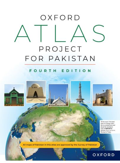
Oxford Atlas Project for Pakistan
 Bulk Order
 Request a Quote
The Oxford Atlas Project for Pakistan has been adapted especially for students of upper primary classes 3, 4, and 5. This atlas provides a bridge between My Little Atlas for the lower primary level and the Oxford School Atlas for Pakistan for higher secondary and O levels, and beyond.
Through gradual progression, the Oxford Atlas Project for Pakistan helps students to become familiar with maps and basic mapreading skills through the use of scale, grids, keys, and directions. Spatial skills are developed by viewing features and landscapes from different angles. This atlas takes the students on a voyage of discovery as they learn about Pakistan, its provinces, and important places, and are introduced to Pakistan's neighbouring countries, the world, flags, time zones, its land features, natural environments, endangered animals, and people and cultures through beautiful and exciting photographs and interesting text.
The maps are accompanied by activity sections, which provide practice and reinforce the mapreading skills. The index helps the students locate and find places on the atlas maps.
The Oxford Atlas Project for Pakistan is an appropriate and compatible companion for primary social studies, such as New Oxford Social Studies for Pakistan, World Watch Social Studies, and Know Your World. It provides students for better understanding of geographical concepts and develops their geographical skills as well as preparing them for study of geography in higher classes.
 Readership / Level
For Classes 3 to 5
Readership / Level
For Classes 3 to 5
 Weight in kg
0.35
Weight in kg
0.35
 Rights
For sale in Pakistan and Pakistani Schools in the Middle East only
Rights
For sale in Pakistan and Pakistani Schools in the Middle East only
 Binding
Paperback
Binding
Paperback
Customers loved these too